FLOOD-serv System

 Overview of the FLOOD-serv System
The FLOOD-serv System is an integrated multi-component, Multilanguage system designed to serve public authorities, citizens and stakeholders in various aspects of flood risk management: management, coordination of alerts and missions, communication with and involvement of citizens, flood risk awareness raising, etc. The FLOOD-serv System is the technical output of the FLOOD-serv Project. The system is accessible via the FLOOD-serv Portal here.
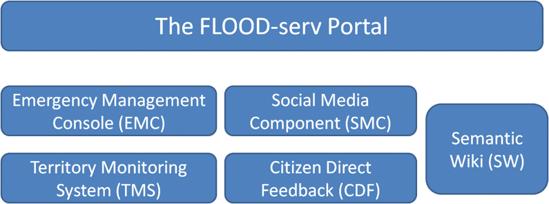
The FLOOD-serv System is made of several Components, each with their distinct functional role:
- The FLOOD-serv Portal (developed by Siveco) acts as the overall entry point to the FLOOD-serv System and is a portal for presenting information and engaging in dialogue with citizens related to floods.
- Emergency Management Console (EMC, developed by Answare) can be used as a data visualization or decision support system dedicated to employees of public authorities involved in flood emergency management. It receives and monitors relevant data from a variety of sources, internal to the FLOOD-serv project (from other components e.g. data submitted by citizens, or based on analysis of satellite pictures, etc) and from external sources (e.g. meteorological and sensor data). EMC generates various visualizations of data based on maps and charts, proposes response measures and tracks their evolution.
- The Social Media Component (SMC, developed by Ano Software) aims to monitor and provide awareness citizen’s concerns about flood related issues. It collects, monitors and analyses articles, opinions, posts about floods from various social media and Web sources, visualizes and structures them for further analysis. This provides an additional tool for flood management authorities to be aware of public concerns and sentiment. This assist in developing longterm strategies and communicate with the citizens efficiently through multichannel messaging in case of an emergency.
- FLOOD-serv Semantic Wiki (SW, implemented by Siveco) is a semantic wiki containing general information and knowledge about floods and flood management but also specific and contextualized knowledge related to the FLOOD-serv Project. The SW is dedicated for use by both specialists on the one hand, and regular citizens on the other.
- Citizen Direct Feedback (CDF) module provides a direct communication channel from the citizens to the respective local authorities, enabling them to more effectively inform and engage in dialogue with those local authorities of any flood related information, in terms of risks or prevention. CDF enables public authorities to more easily process and make use of information from citizens.
- Territory Management System (TMS) is an instrument for producing situational awareness and risk analysis within a geographical area by means of analysis pictures (vertical, by airplane or satellite, or horizontal from ground).. By analyzing images, its intelligent processing engine is able to generate reports about relevant change events, localize them, and determine water level where sensors are not present.